
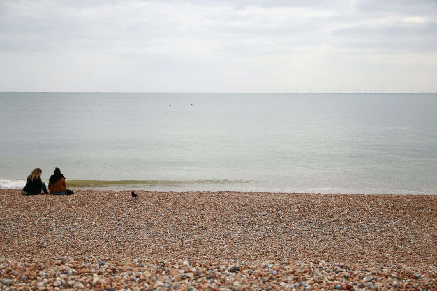
Saltdean is a coastal residential area east of Brighton, set between the sea and open downland. Its housing includes detached and semi-detached houses, bungalows, flats and later infill homes.
For homebuyers, the exact address deserves careful attention. Saltdean occupies a valley, so its streets differ in gradient, outlook and exposure to coastal weather. The area has no railway station, while regular journeys towards central Brighton depend mainly on buses, cars or bicycles using the coastal route.
Saltdean at a glance
- Setting: A coastal suburb between the sea and open downland
- Housing: Houses, bungalows, flats and later infill homes
- Transport: Bus and road connections, but no local railway station
- Terrain: A valley with some steep streets, driveways and walking routes
- Local landmarks: Saltdean Lido, Saltdean Oval and the beach
- Buyer checks: Access, coastal exposure, drainage, planning history and parking
Where is Saltdean?
Saltdean occupies a valley running inland from the coast, beyond Rottingdean and east of central Brighton. Housing rises along both sides, with Saltdean Oval forming a central open space.
Brighton & Hove City Council’s Urban Characterisation Study describes Saltdean as a purpose-built coastal suburb. The study records views across the valley, towards the surrounding countryside and, from some positions, out to sea. It also explains that the built-up area ends sharply where it meets the surrounding countryside.
Saltdean currently crosses an administrative boundary. West Saltdean is within Brighton and Hove, while East Saltdean remains within Lewes district.
The Government announced in July 2026 that East Saltdean, Peacehaven and Telscombe are due to become part of an expanded Brighton & Hove authority from 1 April 2028. Existing councils will continue providing services within their present areas during the transition. Buyers should check which authority currently covers an address rather than relying on the future boundary.
Marine Drive and the A259 run along the coast. This route connects Saltdean with Rottingdean, Brighton Marina and central Brighton to the west, and Peacehaven and Newhaven to the east.
Homes and property in Saltdean
The Saltdean Urban Character Study records that Saltdean began to develop as a residential suburb during the 1920s. The Saltdean Estate Company was established in 1924, with roads arranged around the central park now known as Saltdean Oval.
Much of the Mount Estate and the area around the Oval had been built by the Second World War. Development on individual plots continued until the 1970s.
This gradual growth produced a mixture of homes, including:
- Detached and semi-detached houses
- Traditional bungalows
- Bungalows converted into chalet-style homes
- Interwar houses
- Purpose-built flats
- Later infill and replacement homes
The council’s study describes Saltdean as a largely low-rise, low-density residential suburb with mixed building styles. Housing is the predominant land use.
Buyers will find properties with gardens, garages or off-road parking, but these features need to be checked at each home. Plot sizes, internal layouts and access can vary between properties on the same street.
Bungalows form an established part of the local housing stock. They may appeal to buyers looking for most of their accommodation on one level, but the property type does not guarantee step-free access. A bungalow may sit above the road or have entrance steps, a sloping driveway or a garden arranged across different levels.
Some Saltdean homes have been extended, remodelled or converted to use the roof space. Buyers should not assume that existing work has all the required approvals. A solicitor can examine the available planning and building-control records, while a surveyor can assess the condition of the completed work.
Planning permission and building regulations approval serve different purposes. An alteration at a neighbouring property does not mean that a similar proposal elsewhere will automatically receive approval.
Choosing where to live in Saltdean
Properties near Marine Drive provide easier access to the coast and the A259 transport corridor. They can also experience more road noise and exposure to wind and salt in the air.
Homes around Saltdean Oval are closer to the Lido, library and park. Farther inland, streets rise towards open downland. Higher positions can provide longer views, although reaching local facilities or bus stops may involve a steeper return walk.
The Saltdean Urban Character Study records that the valley sides are exposed to prevailing salt-laden winds, while the valley floor is more sheltered. It also explains that many homes were positioned to take advantage of views across the central park and valley.
Orientation will influence sunlight as well as outlook. During a viewing, check where the main living rooms and garden face. A wide view does not necessarily mean that the home receives afternoon or evening sun.
Walk from the property to the facilities you expect to use. A journey that appears short on a map can feel much longer when it includes a steep return route.
Hills, access and sloping plots
Saltdean’s terrain can affect how practical an individual home feels. Some properties have steep driveways, entrance steps or gardens divided into levels.
Look at the entire route from the pavement to the front door. Consider whether shopping, a pushchair or mobility equipment could be moved along it comfortably. Inside the home, check where the bedrooms, bathrooms and main living areas are positioned.
If you expect to remain in the property for many years, consider whether the entrance and internal layout could accommodate changing mobility needs. This assessment is useful even when the home is described as a bungalow.
Sloping ground can make retaining walls and drainage arrangements more significant. A suitable survey can assess cracking, displaced walls, the direction of rainwater and signs of water collecting near the building.
These checks do not mean hillside homes should be avoided. They help buyers understand the access, upkeep and possible repair responsibilities attached to a specific property.
Saltdean Beach and the coast
Saltdean Beach lies below Marine Drive and the chalk cliffs, with access provided from the coastal road.
The undercliff route connects Saltdean with neighbouring coastal areas and is used for walking, running and cycling. Coastal conditions can change, so visitors should follow local signs and access guidance.
Living near the sea can increase a property’s exposure to wind and salt. Rendered surfaces, roof components, windows, doors and external metalwork may require closer inspection, especially in positions exposed to coastal weather.
Responsibility for coastal management changes across the current local-authority boundary. Lewes District Council’s coast-management information explains that its area of responsibility stretches from Saltdean towards Cuckmere. The council monitors coastal conditions and plans to continue repairs to existing defences where funding, safety and technical conditions allow.
Lewes District Council’s East Saltdean to Newhaven coastal-management work states that there is no imminent erosion risk to most of the frontage covered by the plan.
This is a broad assessment of the coastline rather than a report on an individual home. Buyers should still commission the appropriate property searches, arrange a survey and obtain an insurance quotation.
Saltdean Lido, library and open space
Saltdean Lido is the area’s best-known landmark. The Grade II* listed building has undergone extensive restoration, with uses including leisure, library, community, food, events and workspace.
Saltdean Library is based in the restored Lido building. It offers books, audiobooks, free Wi-Fi, computers, printing and scanning, as well as areas for children and teenagers. Some opening periods operate through Brighton & Hove City Council’s self-service Libraries Extra arrangement.
Saltdean Oval provides open space next to the Lido. Together, the park, library and restored building form a recognisable centre within the wider residential area.
Saltdean also sits beside open downland. Parts of the West Saltdean Neighbourhood Plan area extend into the South Downs National Park, as shown in the South Downs National Park Authority’s West Saltdean planning information.
Schools and early-years provision
Saltdean Primary School is on Chiltington Way. Brighton & Hove City Council describes it as a mainstream primary school for children aged four to 11, with support for pupils who have a range of special educational needs.
The council’s childcare directory also lists term-time early-years provision at the primary-school site. Availability, registration details and operating arrangements should be checked directly before they influence a property decision.
Living close to a school does not automatically secure a place. Families considering a home in West Saltdean should consult Brighton & Hove City Council’s current school-admissions information, which explains how applications are handled and what evidence of address may be requested.
The complete school journey is more useful than distance alone. Walk the route from a prospective home and consider the hills, crossings, traffic and position of bus stops.
Buyers considering an East Saltdean address should check which education authority and admissions arrangements currently apply. Local-government services will continue under the present arrangements until the planned reorganisation takes effect in April 2028.
Transport and commuting
Saltdean does not have a railway station. Public transport is centred on bus services using local roads and the A259.
Brighton & Hove City Council’s bus and timetable information provides links to current operator services. Routes and timetables can change, so check the nearest stops and the journeys you expect to make regularly.
Anyone expecting to travel by train should assess the full door-to-door journey. Include the connection to the station, waiting time and return options, especially during evenings and weekends.
Drivers should test the A259 during their normal travel hours. Traffic and roadworks can change journey times, and a quiet daytime viewing may not reflect weekday commuting conditions.
Parking and vehicle access
Parking provision differs by property. Some homes have a driveway or garage, while others rely partly or entirely on public on-street space.
An older garage should be measured rather than assumed to accommodate a modern car. Check the door width, internal dimensions and space needed to turn into it. A garage that cannot take a car may still provide useful storage.
Look closely at driveway access. Consider the gradient, visibility when leaving, available turning space and whether there is an authorised dropped kerb. Previous extensions may have reduced the original parking area.
Brighton & Hove City Council provides an on-street parking information map. The council describes it as a guide and advises drivers to check signs and road markings. Temporary restrictions may not appear online.
Parking conditions can change during the day. Visit during the evening or at the weekend if on-street availability will influence your decision.
Planning and future alterations
The authority responsible for a planning application currently depends on the property’s location. West Saltdean is within Brighton and Hove, while East Saltdean remains within Lewes district during the local-government transition.
The Government’s local-government reorganisation information sets out the proposals and consultation process affecting East Sussex and Brighton and Hove.
Brighton & Hove City Council states that East Saltdean is due to become part of the expanded authority from 1 April 2028. Buyers should use the current council arrangements until the transfer takes effect.
The West Saltdean Neighbourhood Plan was formally made by Brighton & Hove City Council on 5 December 2025. It now forms part of the planning framework used to assess applications within its defined area.
The council’s West Saltdean Neighbourhood Plan documents cover design, housing, heritage, water use, travel, parking and green space. The designated area includes land within the South Downs National Park.
The plan does not apply to every Saltdean address. Check the published boundary before assuming that a property falls within it.
Review the planning history before buying a home with the intention of extending it, converting the roof or replacing an existing building. Previous permission elsewhere in the street does not guarantee approval for a new application.
Flood risk, drainage and insurance
Flood and drainage conditions should be assessed for the individual address. Elevation, surrounding ground, plot layout and drainage arrangements can all affect a property.
The official GOV.UK service allows buyers to check the long-term flood risk for an area in England. It provides information about risk from rivers and the sea, surface water, reservoirs and groundwater where data is available.
The service does not state whether an individual home will flood or cover problems caused by blocked drains and burst pipes.
Brighton & Hove City Council’s flood-risk information provides access to strategic material about flood zones, recorded incidents, surface-water run-off and sustainable drainage.
Area-level assessments do not replace a drainage and water search, property survey or insurance assessment. Obtain an insurance quotation before exchanging contracts so that exclusions, conditions or unexpected costs can be investigated.
Surveys and coastal property checks
The type of survey needed will depend on the age, construction, condition and setting of the home. In Saltdean, the inspection may need to consider:
- Weathering to render and external finishes
- Windows, doors and metal components exposed to salt in the air
- Roofing, gutters and rainwater systems
- Drainage across sloping ground
- Retaining walls and changes in level
- Cracking, damp or water collecting near the building
- The condition of extensions and roof conversions
- Entrance steps and driveway gradients
An older, heavily altered or unusually constructed home may require a more detailed inspection than a conventional property in good condition.
For a leasehold flat, ask for the lease, recent service-charge accounts, reserve-fund information, planned major works and notices issued by the freeholder or managing agent. These documents can identify future costs and restrictions that may not be apparent during a viewing.
Advantages of living in Saltdean
Saltdean is likely to appeal to buyers who want:
- A house or bungalow close to Brighton
- Access to the coast and open downland
- A mainly residential setting
- A local primary school, library and leisure facilities
- A choice of valley-floor and hillside positions
- Wider views from some streets
- Greater separation from central Brighton
- The possibility of a garden, driveway or garage
Possible drawbacks
Saltdean may be less suitable for buyers who want:
- A railway station within walking distance
- Mainly level walking routes
- A large town centre nearby
- Extensive nightlife and entertainment
- A consistently short journey into central Brighton
- To complete most journeys without using a bus, bicycle or car
- Limited exposure to coastal weather
- A home requiring minimal external upkeep
What should you check before making an offer?
Before committing to a home in Saltdean:
- Confirm the current local authority. Establish whether the address is within Brighton and Hove or Lewes district, and understand the planned change from April 2028.
- Visit at different times. Compare traffic, parking, wind exposure and activity during the day, evening and weekend.
- Walk your regular routes. Test the journey to bus stops, local facilities and schools where relevant.
- Review the planning history. Check the status of extensions, roof conversions and other alterations.
- Arrange a suitable survey. Ask the surveyor to consider coastal exposure, drainage, retaining walls and sloping access.
- Check official flood information. Use address-specific searches rather than relying on a general description of Saltdean.
- Test the commute. Travel during the hours when you expect to use the route.
- Inspect parking carefully. Measure the garage and assess the driveway, dropped kerb and on-street restrictions.
- Obtain an insurance quotation. Do this before exchange so unexpected conditions or costs can be investigated.
- Review leasehold documents. Check service charges, reserve funds, planned work and restrictions before buying a flat.
Is Saltdean a good place to live?
Saltdean is likely to suit buyers who want coastal access, open surroundings and a mainly residential home within reach of Brighton. Its houses, bungalows and flats support different property searches, while the Lido, library, park, beach and nearby downland give the area a recognisable identity.
It will not suit every household. The lack of a railway station, the busy coastal road and steep terrain can affect daily travel and accessibility. Homes in exposed positions may also need more regular external maintenance.
The decision should be made property by property. Confirm which council currently covers the address, walk the routes you would use, visit at different times and investigate the physical and legal condition of the home. This will provide a clearer view of whether Saltdean offers the setting and practicality you need.
Sources and attribution
This guide uses first-party public-sector information from GOV.UK, Brighton & Hove City Council, Lewes District Council and the South Downs National Park Authority. Natural links to relevant services and documents appear throughout the article.
Contains public-sector information licensed under the https://www.nationalarchives.gov.uk/doc/open-government-licence/version/3/.


